Scarborough is a seaside resort in Yorkshire, Northern England. It is the largest town resort town in North Yorkshire and grew around the industries of fishing and tourism. The following video shows a number of postcards that feature various images of the town with some highlights including images of,
Scarborough South Bay Bathing Pool
The construction of the south bay bathing pool was the brainchild of Harry W. Smith the former borough engineer for Scarborough. Whilst on a visit to Guernsey he became inspired by an outdoor pool they already had for bathers. Upon his return he proposed a pool that would feature different depths, diving boards, water chutes, changing rooms and showers, these would have been a first for Britain not just Scarborough. Construction started before World War One and the pool officially opened in 1915. The pool was built to help combat coastal erosion and was filled by fresh sea water daily due to the tides. The pool was a popular attraction until its closure in the 1980's when the site fell in to disrepair.
Scarborough North Bay Pier
Opened on the 1st May 1869, the North Bay Pier was constructed by Josiah Foster Fairbank as a steamer and promenade pier. Upon completion the pier reached a length of 1000ft (305m) out to sea, but was dogged by incidents from the start, frequently being hit by steamers at the head and never making much money, the pier changed owners several times and January 7 1905 a storm wrecked a large section of the pier leaving only the head and entrance standing. The pier closed after this and shortly after the head was demolished, with the entrance pavilion itself being demolished in 1914.
Peasholm Park
The video also features a number of images of Peasholm Park, opened in 1912 the park attractions include Peasholm Glen, putting green, boating lake where mock naval battles are staged 3 times a week during the high season and many types of plant life to walk around and enjoy. The park declined from the 1970's on and was closed for a time when fire destroyed some of the buildings in 1999. Due to heritage lottery funding the park has since been restored and is now a popular attraction again.
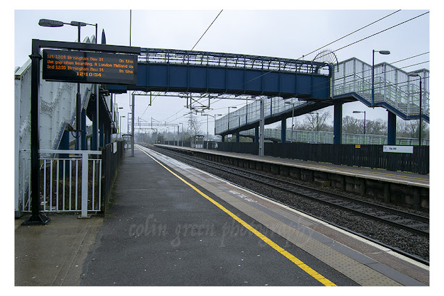
Other scenes of interest include the Turkish Baths, Floral Hall, Railway Station and Open Air Theatre. There are a total of 25 pictures to view taken from postcards.
Thanks for looking and please take a moment to share, and follow me on social media.