Skip to main content
Search
Search This Blog
Colin Green Photography
Posts
February 05, 2022
Halifax Railway Station (2013)
January 30, 2022
Old Images of Scarborough
January 24, 2022
The Rialto Bridge at Night.
January 16, 2022
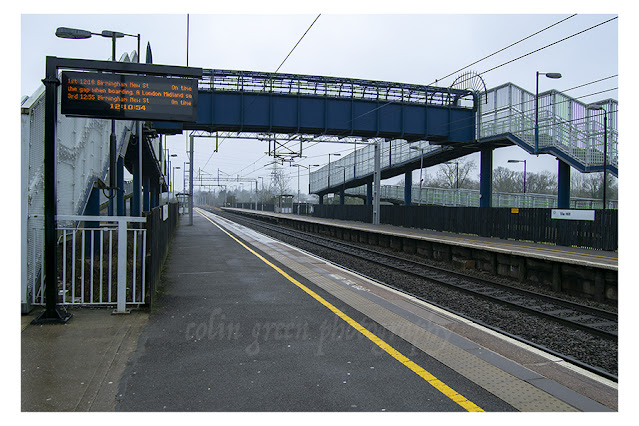
Tile Hill Railway Station
January 15, 2022
A Short Stretch of the Leeds and Liverpool Canal, Bridge 199 to the Bottom of the Bingley Five Rise Locks
January 09, 2022
Lumbutts Mill Water Tower and Dams, New Years Eve 2016
January 09, 2022
Priest Lane and Ripponden Church Spire.
January 07, 2022
Brighouse Library & The Smith Art Gallery.
January 02, 2022
Vinos El Campesino, Lanzarote
Newer Posts
Older Posts
Home